
 Starting at the northern most part of the estuarine system, the Mississippi River meets the uplands of the continent where Barataria-Terrebonne extends north of Port Allen into Pointe Coupee Parish.
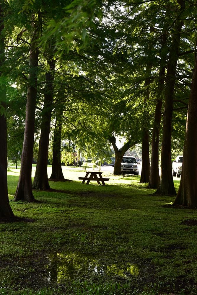
The Mississippi River has ranged across this terrain countless times as it changed its path through time. In contrast to coastal areas, there is little danger of this land turning into open water. Although it is only 20–30 feet above sea level, it is the highest land in the estuaries.
Much of the land in the northern part of the estuary is used for agriculture. The ridges are cultivated with sugar cane and soybeans being the dominant crops. Cattle are the primary range animal kept in the estuary.
The higher ground found along the banks of the rivers and bayous is also the primary location where residents have built their homes. Areas throughout Barataria-Terrebonne consist mainly of small towns, communities, and neighborhoods. The westbank of the Mississippi River near New Orleans is the primary exception; this area acts as a suburb to New Orleans. The larger cities in the estuary include: Houma, Marrero, Harvey, Gretna, Thibodaux, Belle Chase, Morgan City, and Raceland.
Bird communities include the northern mockingbird, brown thrasher, northern cardinal, Carolina wrens, and mourning doves. Common reptiles include green treefrogs, geckoes, and green anoles. Mammals common to these areas are opossum, coyote, mice, rats, and people.